

You can find on this page the blank map of Belgium to print and to download in PDF. The contours map of Belgium presents the international boundary of Belgium in Western Europe. You can use the vector map of Belgium for personal or educational use.
The blank map of Belgium shows the country Belgium empty. This blank map of Belgium will allow you to use the map for personal activities or educational with children for example (drawing). The empty map of Belgium is downloadable in PDF, printable and free.
Belgium has an area of 30,528 square kilometres, with 16,844 square kilometres for Wallonia, 13,522 square kilometres for Flanders and 161 square kilometres for the Brussels Capital Region. By provinces, the area is distributed as such: Luxembourg: 4,440 km², Liège: 3,862 km², Hainaut: 3,786 km², Namur: 3,666 km², West Flanders: 3,144 km², East Flanders: 2,982 km², Antwerp: 2,867 km², Limburg: 2,422 km², Flemish Brabant: 2,106 km², Walloon Brabant: 1,091 km² as you can see in the Blank map of Belgium.
Belgium is a federal state comprising three communities, three regions, and four language areas as its mentioned in the Blank map of Belgium. For each of these subdivision types, the sum of their circumscribed surfaces composes the entire country; in other words, the types overlap. The language areas were established by the Second Gilson Act, which entered into force on August 2, 1963. The division into language areas was included in the Belgian Constitution in 1970. Through constitutional reforms in the 1970s and 1980s, regionalisation of the unitary state led to a three-tiered federation: federal, regional, and community governments were created, a compromise designed to minimize linguistic, cultural, social, and economic tensions.
Belgium (officially, the Kingdom of Belgium) is a federal state divided into three regions. These are Flemish Regions/Flanders, Wallonia/Walloon Region and the Brussels Capital Region. The former two are subdivided into 5 provinces while the latter is remains undivided as its shown in the Blank map of Belgium. The regions are further subdivided into 43 administrative arrondissements and then into municipalities. With an area of 30,689 sq. km, and a population of 11.5 million residents, Belgium is the 6th most densely populated nation in Europe and the 22nd most densely populated country in the world. Located in the north-central part of the country is, Brussels – the capital, the largest and the most populous city of Belgium. It is also the de-facto capital of EU. Brussels is the administrative, financial and economic center of Belgium.

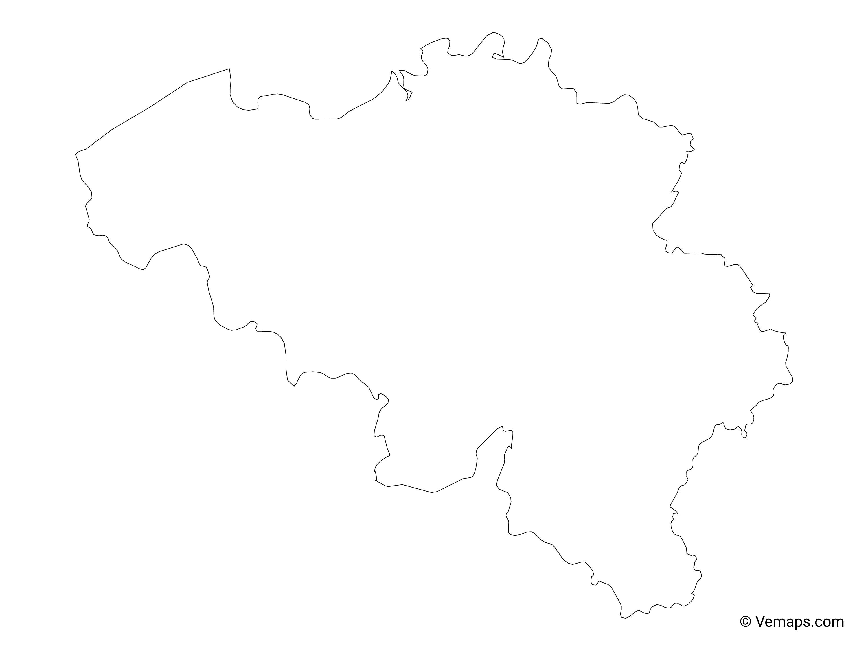
The Belgium map outline shows all the contours and international boundary of Belgium. This outline map of Belgium will allow you to easily learn about neighboring countries of Belgium in Western Europe. The Belgium contours map is downloadable in PDF, printable and free.
The communities, regions, language areas, municipalities, and provinces, are the five most important subnational entities of Belgium, as laid out in the Belgian constitution. Lesser subnational entities include the intra-municipal districts, the administrative, the electoral and the judicial arrondissements, police districts, as well as the new inter-municipal police zones (lower level than the police districts) as you can see in Belgium map outlines. All these entities have geographical boundaries: the language areas, the communities, the regions, the provinces and the municipalities. The language areas have no offices or powers and exist de facto as geographical circumscriptions, serving only to delineate the empowered subdivisions. The institutional communities are thus equally geographically determined. Belgian Communities do not officially refer directly to groups of people but rather to specific political, linguistic and cultural competencies of the country. There is no subnationality in Belgium.
The three Belgium regions are: the Brussels-Capital Region (Brussels), the Flemish Region (Flanders), the Walloon Region (Wallonia) as its shown in Belgium map outlines. The three communities are: the Dutch-speaking Vlaamse Gemeenschap ("Flemish Community"), the French-speaking Communauté Française ("French Community"), the German-speaking Deutschsprachige Gemeinschaft ("German-speaking Community"). The four language areas (as taalgebieden in Dutch and Sprachgebiete in German), occasionally referred to as linguistic regions (from French régions linguistiques), are: the Dutch language area, the Bilingual Brussels-Capital area, the French language area, the German language area (which has specific language facilities for French-speakers).
Belgium map outlines can be downloaded, printed and used for educational purpose like coloring and map-pointing activities. Belgium is a Western European nation. It is geographically positioned both in the Northern and Eastern hemispheres of the Earth. Belgium is bordered by 4 countries: by the Netherlands in the north; by Germany in the east; by the Grand Duchy of Luxembourg in the southeast and by France in the southwest. It is bounded by the North Sea in the northwest.
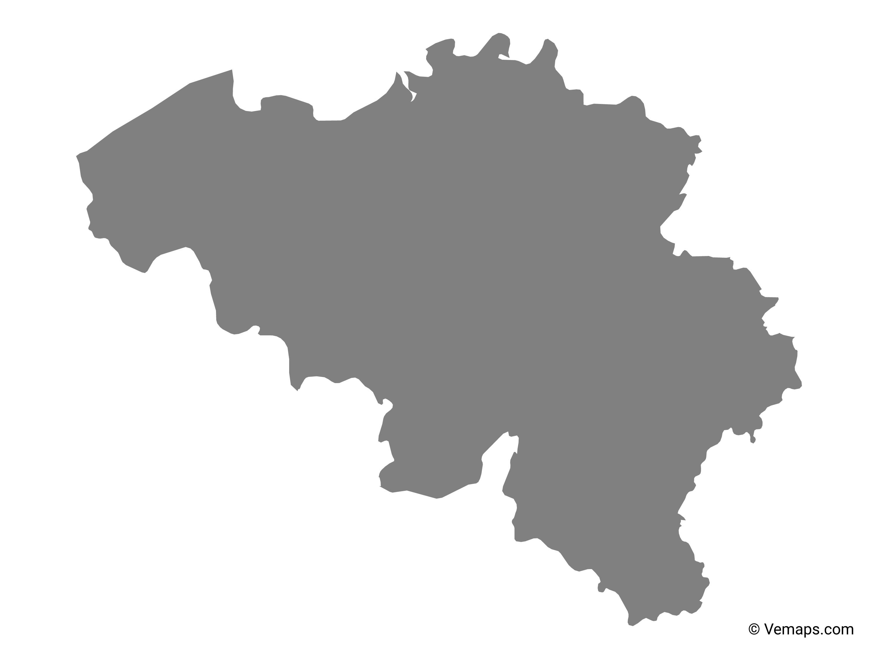
The vector map of Belgium shows entire surface of Belgium empty. This vector map of Belgium will allow you to make changes or add details to the map of Belgium in Western Europe, for personal or educational purposes. The vectorial map of Belgium is downloadable in PDF, printable and free.
To get the total area of Belgium, the surface of the Brussels-Capital Region should be added to the list, since Brussels is not in any Belgian province anymore since the province of Brabant has been split. Belgium has also 3,462 square kilometres of sea territories in the North Sea as you can see in Belgium map vector. On 29 May 2000, 2,000 square metres were granted by the Netherlands to Belgium (a piece of land in Zelzate along the Ghent-Terneuzen Canal). Compared to other countries, Belgium is 1.5 times larger than Wales in the United Kingdom and about the size of Maryland in the United States. Belgium is actually used as an unusual unit of measurement in comparing country sizes.
With the help of a vector map of Belgium, users can self-assess themselves about their knowledge of the country by locating and marking major cities and towns, and other important places on the map. They can also locate the neighboring countries that share their border with Belgium. Many people use it to teach others about the country and this map is very helpful in the learning process.
Belgium map vector is considered to be a helpful document enabling anyone to learn and understand the geographical details of that country. From this map, users like students, researchers, and school going kids, can not only learn the skills of drawing the map manually, with great accuracy, but also complete their homework assignment, efficiently.